This post may contain affiliate links. I will receive a small commission if you use these links.
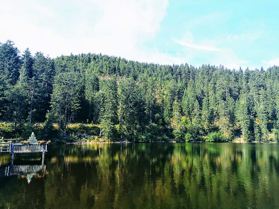
Germany has some stunning landscapes, from the thick dense mountains of fir trees in the Black Forest, to the rolling hills and valleys of the Rhine. With all these beautiful surroundings, it’s no surprise that Germany has some great hiking trails.
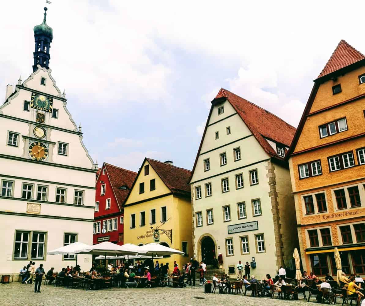
The most beautiful section of Germany’s Rhine Valley region is the Upper Middle Rhine Valley Gorge – think vineyards, fairy-tale castle and cute little Bavarian towns and villages. If you have more time to explore the Rhine Valley region, you might want to check out these 4 scenic places to visit along the Rhine river.
Table of Contents
7 great hiking trails in the Rhine Valley
There are so many great hiking trails in this area with stunning views over the Rhine river. Here are 6 easy-moderate hiking trails in the Rhine Valley to get you started.
1. Ruppertsklamm Gorge Circular
Length of hike: 7.7km
Type of hike: Circular
Who is this hike for?: The adventurous!
Location: Close to Braubach, in the Upper Middle Rhine Valley
There are several walking trails in and around the Ruppertsklamm Gorge. One of the most popular routes is this circular route from AllTrails, which is just under 8km long. However, as the route follows a ‘figure of 8 shape’, it can easily be shortened by completing just one of the loops.
Parts of the walk can be challenging, with ropes to assist you climb the steep gorge. It is recommended to wear sturdy hiking shoes and to take extra care if the ground is wet as it can become slippery.
2. Spay Blickins Tal
Length of hike: 6.1km
Type of hike: Circular
Who is this hike for?: Moderate level – suitable for most abilities
Location: Spay, Rhine Valley
This is a short, moderate hike, which is suitable for most people with a good fitness level. The Blickins Tal hiking trail is accessed directly from the roadside, just outside of the tiny village of Spay, in between Koblenz and Boppard.
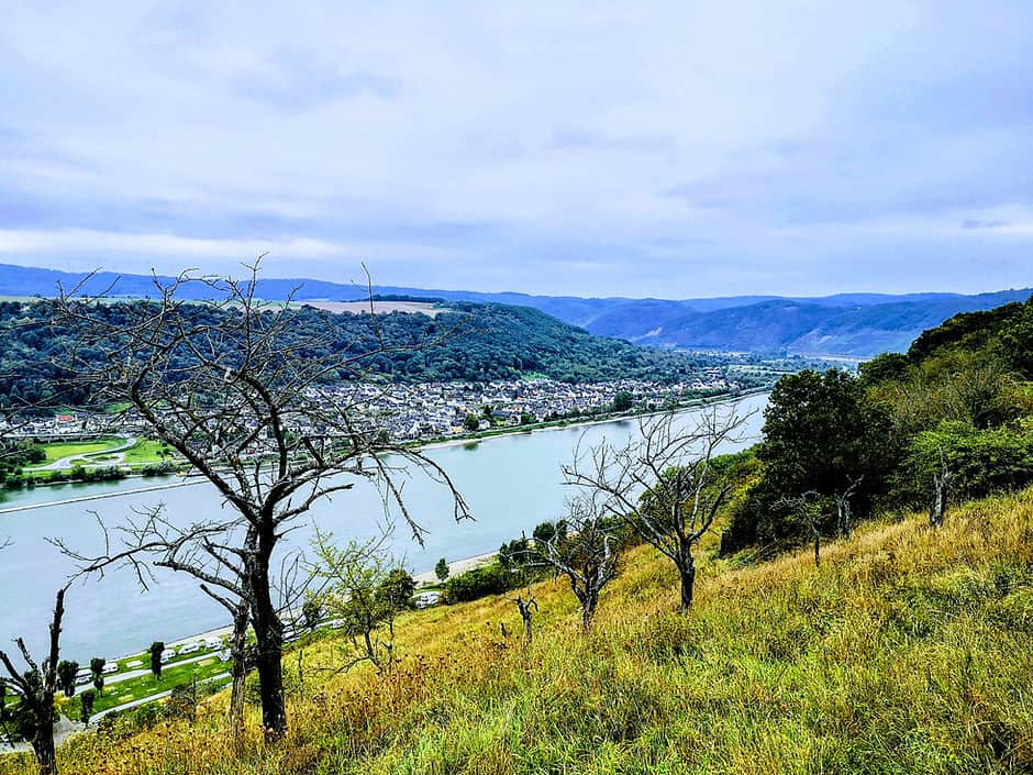
This is a well sign-posted route that takes you through the woods as you climb up the hillside. As you reach the top, you’ll get glimpses of the Rhine river through the trees before following the path across farmland. Just over half way through the hike, you’ll reach the viewpoint overlooking the Rhine river and gorge. The view is pretty impressive and it’s nice to take some time to enjoy it before heading back down through the woods to the start.
3. Rheingoldbogen
Length of hike: 12km
Type of hike: Circular
Who is this hike for?: Moderate level – suitable for most abilities
Location: Brey, Rhine Valley
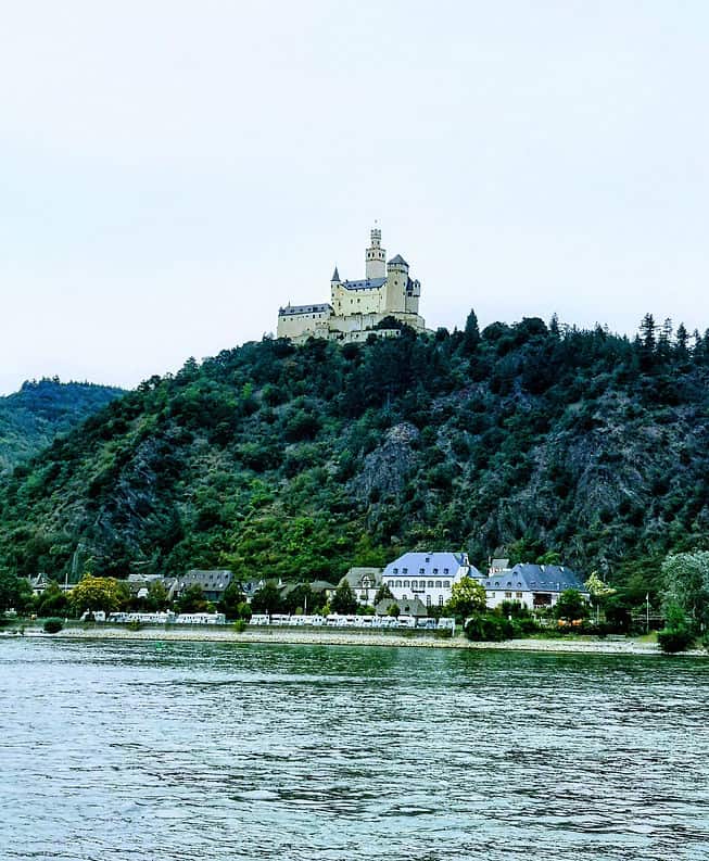
Sat on the hillside above the village of Brey, amongst rolling vineyards is the Rheingoldbogen hiking trail. This 12km route starts at the cemetery in Brey and offers views of the Rhine river as it weaves around the surrounding villages and towns. You’ll also see across the river to Marksburg Castle on the hillside of Braubach. The route also takes you through the Bopparder Hamm vineyards, which this region of the Rhine Valley is famous for. This is another moderate hike, which is suitable for most people with a reasonable fitness level. The trail can be uneven underfoot, so sturdy hiking shoes are recommended.
4. Fünfseenblick
Length of hike: 10.4km
Type of hike: Circular
Who is this hike for?: Moderate level – suitable for most abilities
Location: Brey, Rhine Valley
The main attraction of the popular Fünfseenblick hiking trail is the 27.4 metre high observation tower. Sat high on the top of the hill, the tower gives breath-taking views across the whole Upper Middle Rhine valley. The moderate-level loop trail starts just outside of Boppard, in the pretty Spa Park gardens.
If you don’t want to walk, but still want amazing views, you can drive directly to the observation tower! This is a great option for a pit stop if your driving the Rhine Valley or Romantic Road route!
5. Elfenlay
Length of hike: 10.8km
Type of hike: Circular
Who is this hike for?: Moderate – Challenging, suitable for those with a good fitness level
Location: Boppard, Rhine Valley
This is a varied hiking trail, taking you through a variety of terrain. You’ll walk through forests, past streams and along ridges with views over Bopparder Hamm, the Rhine river and also the Hubertus Viaduct. The path can be very steep and challenging in places so a good level of fitness is required. This hiking trail can get quite muddy, so it is best to complete it in the drier summer months.
6. Niederwald in Rudesheim
Length of hike: Various short walking trails
Type of hike: Various
Who is this hike for?: Beginner – Moderate
Location: Niederwald Landscape Park
If you don’t fancy a full-on hike, but still want to stretch your legs and have a walk, this is a great option. Within the Nierderwald landscape park, there are several short walking trails that you can choose from, all of which will lead you to interesting landmarks and monuments.
Start by taking the cable car ride from Rudesheim rail station up to Niederwald temple observation deck. From the Observation deck, follow the trail at the top of the hill towards the Niederwald Monument. After observing the monument, you can continue to explore the landscape park, visiting the Ostein Park and passing the Ruheplatz Binger Blick observation deck on the way.
When you have finished taking in the views over the Rhine valley at the top, simply take the cable car back down to the rail station.
7. The Rheinsteig - the complete Rhine Valley walking trail!
Length of hike: 311km
Type of hike: Point to Point / Linear
Who is this hike for?: Beginner – Moderate – Challenging
Location: Between Wiesbaden, Koblenz and Bonn
The long distance point to point Rheinstig trail runs over 311 km from Bonn, through Koblenz and down to Wiesbaden. The entire route is almost entirely along the right bank of the Rhine river and is one of Germany’s greatest long distance hiking trails. You can pick a small section of the trail to complete, or choose to walk the whole route if you’re up for the challenge!
The official Rheinsteg website has details of the various stages of the long distance trail, as well as some shorter circular routes which take place around the trail. I would recommend picking a small section and combining a shorter walk with a visit to one of the many towns in the Rhine valley for a more leisurely day out. Another great way to see the river from ground level is by hiring bikes and cycling along the riverside path.
Packing essentials for hiking in the Rhine Valley
Make sure that you are prepared before you set off on a hike and pack according to the weather and also the length of trail you are completing. Here’s my essential hiking items:
An offline map
Whenever I go out hiking, I always make sure that I a downloaded version of the hiking trail saved on my phone. I personally like using the @alltrails app. It’s easy to use and great for finding hiking and walking trails in various destinations around the world. Plus, the gps tracker in the app is a lifesaver if you lose the trail or are not sure which direction to follow.
You can use the free version of AllTrails, although this requires you to be connected to the internet for it to work properly. So I have the pro subscription which only cost £35.99 per year and allows me to download maps for offline use. Plus, if you download the AllTrails app (free or pro version) using the link in this post, AllTrails will plant a tree for each of us too!
As well as a hiking map, I also would always recommend downloading an offline copy of google maps to your phone, which covers the area you are visiting.
Sturdy shoes and spare socks
Hiking boots or shoes are the best footwear for hiking in the Rhine valley. The terrain can be muddy and uneven, so ankle support is a bonus. if you are hiking long distance, take extra socks to change into half way to prevent blisters forming from moisture.
Layers and waterproof clothing
The weather can change when you’re out hiking in the Rhine Valley, especially the higher up you climb. Always pack thin layers and a light waterproof jacket to prepare for changes in weather and also to keep you warm form the wind. If you are hiking in the summer months, it is essential to wear suncream and take a hat with you, as many of the walks are quite exposed to the sun.
Water and snacks
On many of the hiking trails, there are no places where you can refill your water bottle, so make sure you take enough water with you. Also make sure to stock up on snacks before you leave town. There are some great cafes and bakeries where you can pick up some fresh items for a picnic to enjoy with panoramic views.